BETA
08.09.2026
Nýtt
Measurements and drilling at Strandartindur above Seyðisfjörður
Electrical resistivity tomography (ERT) surveys were carried out at Strandartindur above Seyðisfjörður around the beginning of August. These specialised measurements provide information about conditions below the surface. The Icelandic Meteorological Office conducted the surveys with assistance from the Swiss company Geotest AG.
The purpose of the surveys is to determine whether permafrost is present in a talus deposit at an elevation of approximately 700 metres on Strandartindur. Some of the landslides that have reached the settlement below Strandartindur are believed to have originated in this deposit. Permafrost has long been suspected in the area, and thawing permafrost on steep slopes can, in some cases, trigger landslides. Determining whether permafrost is present is therefore important for gaining the clearest possible understanding of the nature of the landslide hazard in the area.
The ERT survey results indicate that there is no continuous permafrost within the deposit, which is a positive finding. However, they do not rule out the presence of isolated ice lenses in smaller areas. It is also possible that continuous permafrost existed there in the past but has already largely thawed.
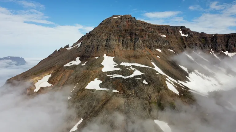
Strandartindur above Seyðisfjörður. The talus deposit in question can be seen in the centre of the image. Photo: Jón Kristinn Helgason
To obtain further information, boreholes will be drilled at two locations within the deposit where the ERT results indicated the possible presence of localised permafrost. Köfunarþjónustan ehf., which is currently working on the installation of avalanche barriers in Drangagil at Neskaupstaður, will carry out the drilling. Weather and other conditions permitting, a helicopter is expected to transport the drill, associated equipment and personnel from Neskaupstaður to Seyðisfjörður today. Two boreholes, each up to 10 metres deep, are planned, and a cable fitted with temperature sensors will be installed in each one.
Together, the ERT surveys and borehole temperature measurements will provide as comprehensive a picture of subsurface conditions as is realistically possible. Temperature measurements must be collected over at least one full winter before any conclusions can begin to be drawn, while two full years of data are often considered necessary for permafrost analysis.
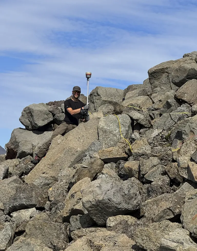
Daníel Ben-Yehoshua, a landslide specialist at the Icelandic Meteorological Office, carrying out measurements in the talus deposit on Strandartindur. Photo: Jón Kristinn Helgason